


Australasian Coasts & Ports 2021 Conference, Christchurch
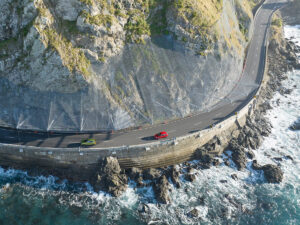
Areas susceptible to coastal erosion have traditionally been mapped as lines on a map. This was based on single values that were derived using a ‘building block’ approach. More recently, coastal erosion extents have been assessed probabilistically to account for environmental and data uncertainty. Nonetheless, single lines are still typically mapped for selected probabilities of exceedance. Show more…Often, many lines are mapped because of specific sea level rise scenarios, timeframes and selected probabilities of exceedance that are typically considered and this can be confusing for stakeholders. Furthermore, coastal erosion extents can also be useful when undertaking risk assessments for coastal adaptation planning, but single lines are of limited value.
Instead of mapping multiple lines for selected probabilities of exceedance, a raster-based mapping approach can be used for both hazard and susceptibility assessments. This allows the full range of probabilities of exceedance being mapped in a combined manner. Raster maps can be shown in the form of a graduated shading, which can be used to find a probability of exceedance for a selected scenario for a location of interest (e.g. road or house). Separate shadings can be created for each timeframe and sea level rise scenario, which could be integrated in a web-based tool using a slider to select the scenario of interest. This would enable probabilistic risk assessments to be undertaken, as well as providing useful information for landowners and infrastructure managers.
This paper outlines how probabilistic methods and improved mapping can enhance the overall effectiveness and engagement from a coastal erosion susceptibility assessment. This includes full probabilistic assessments and raster-based mapping for beach shorelines. For cliff shorelines, a quasi-probabilistic approach is typically adopted, with the cliff toe retreat assessed probabilistically with single stable angles projected landward from a selected probability of exceedance up to where it intersects with ground levels. Raster based mapping for cliff shorelines using a fully probabilistic approach is introduced to allow raster maps being created for cliff shorelines.
The motivation for these improvements is to assist with effective and strategic management at the coast and to assist with communicating uncertainty to communities and stakeholders.Show less…